The Stepping Stone |
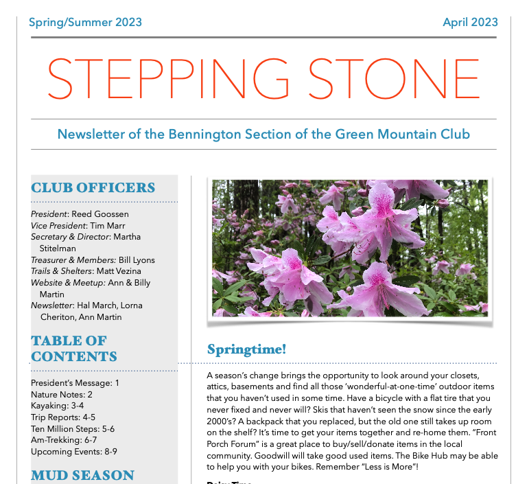
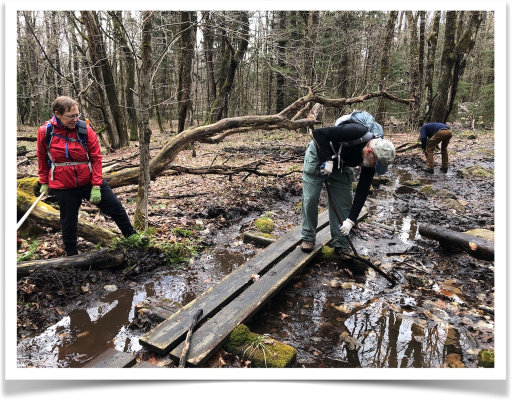
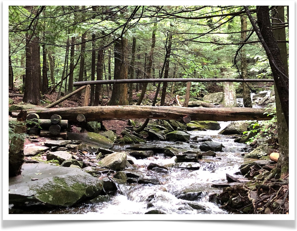
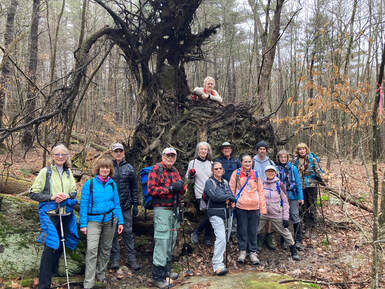 Looking ahead to spring/summer and back at winter. We are always looking for content for our newsletters - trips near or far, long or short, poems, photos, stories...
We'd love to hear from you! Use the Contact Form on this website to send suggestions.
0 Comments
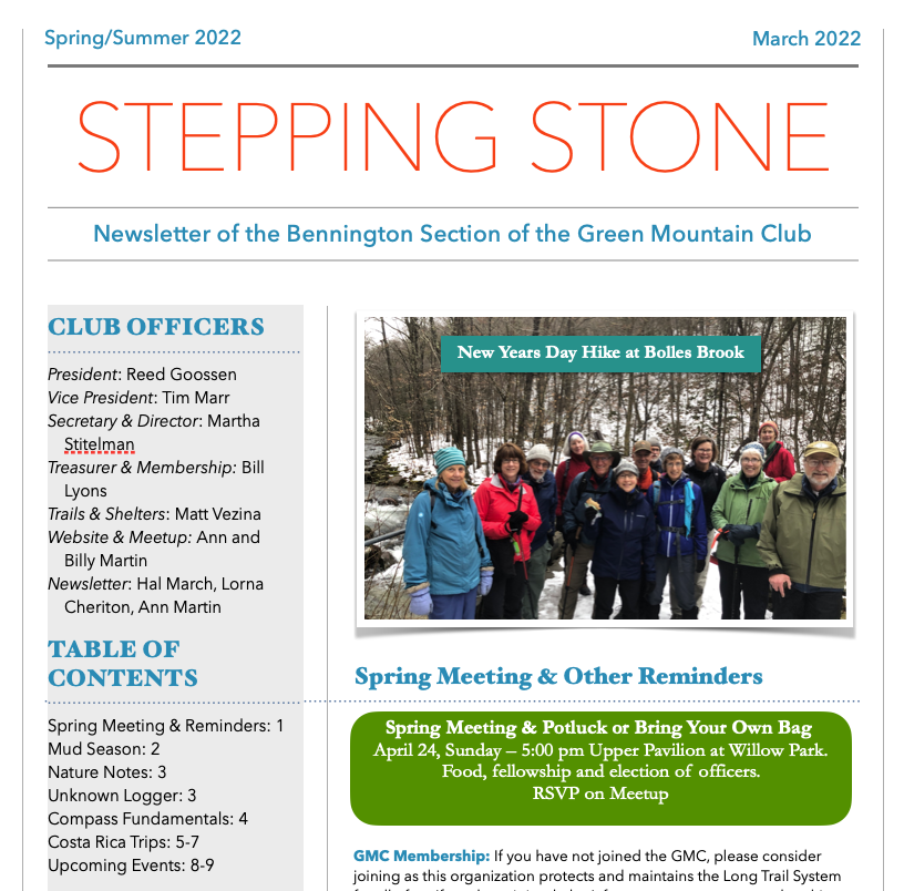
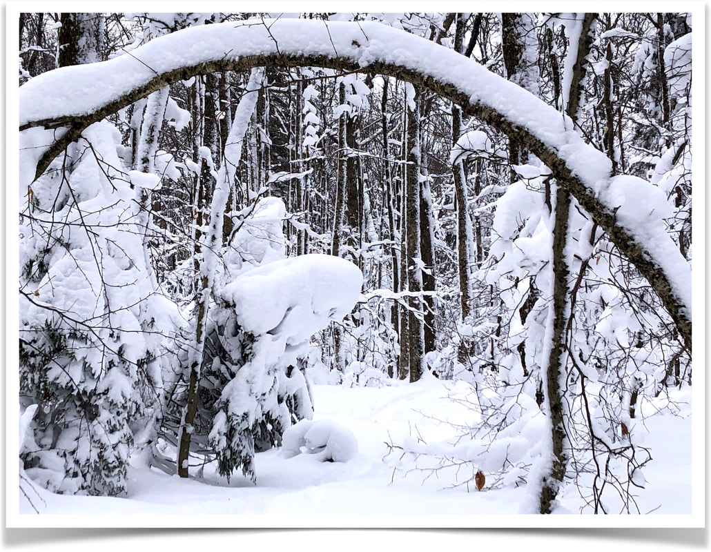
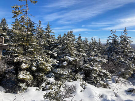 Looking ahead to winter and back at fall. We are always looking for content for our newsletters - trips near or far, long or short, poems, photos, stories... We'd love to hear from you! Use the Contact Form on this website to send suggestions. 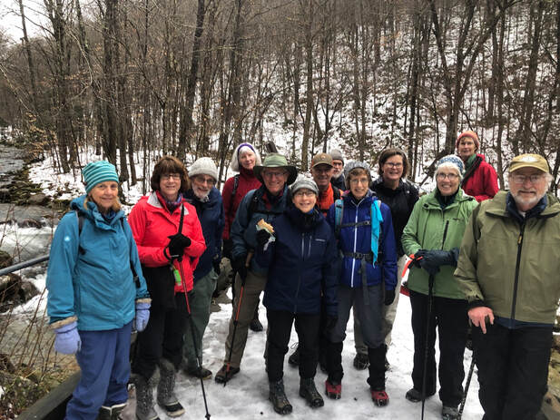 New Year's Day 2022 at Bolles Brook
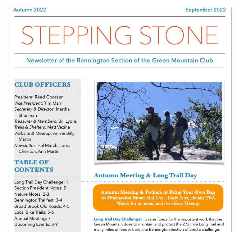
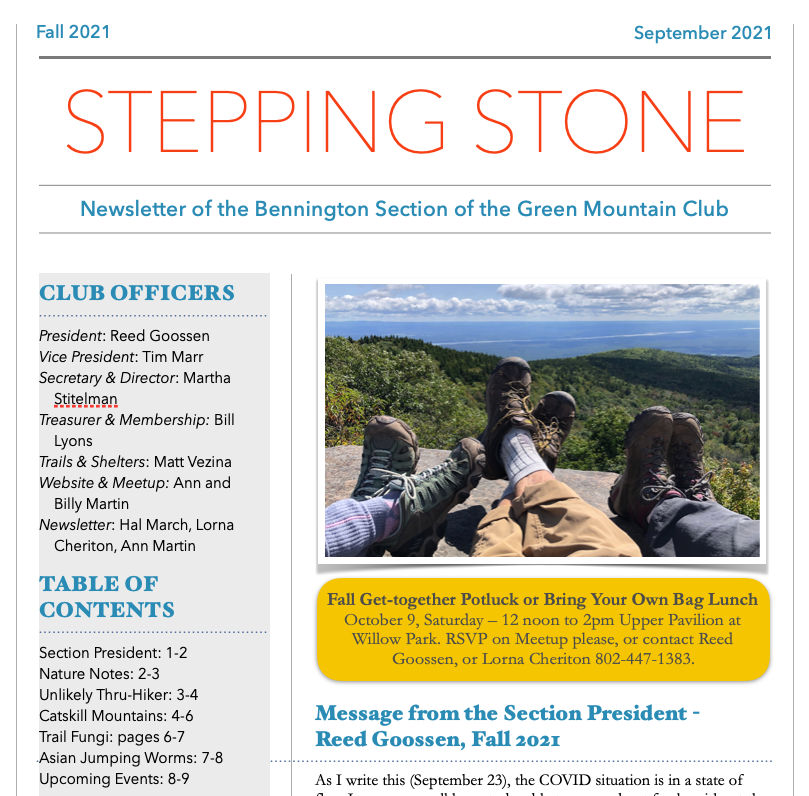
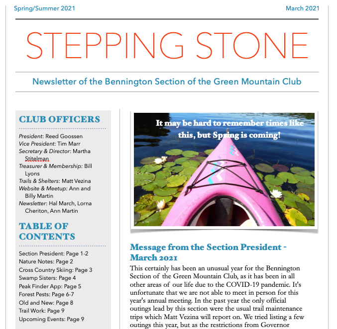
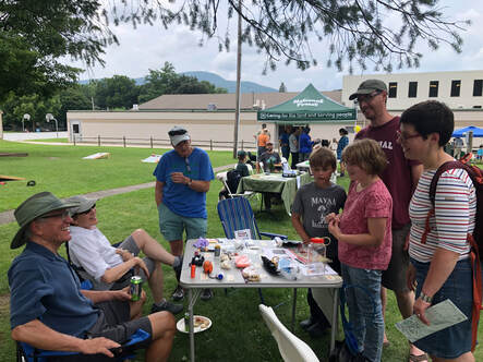 Looking back at Spring/Summer and ahead to Autumn We hope that you enjoy our newsletter. We are always looking for content to include in the newsletter - use the contact form on this website to send us photos, articles, poems, stories... We'd love to hear from you!! CLICK TO READ TO READ THE NEWSLETTER 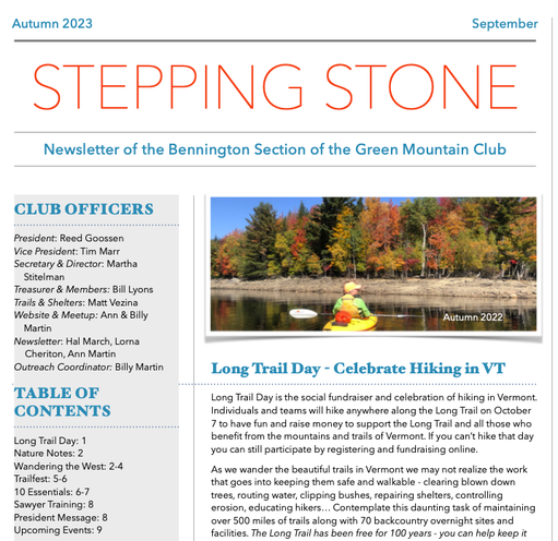 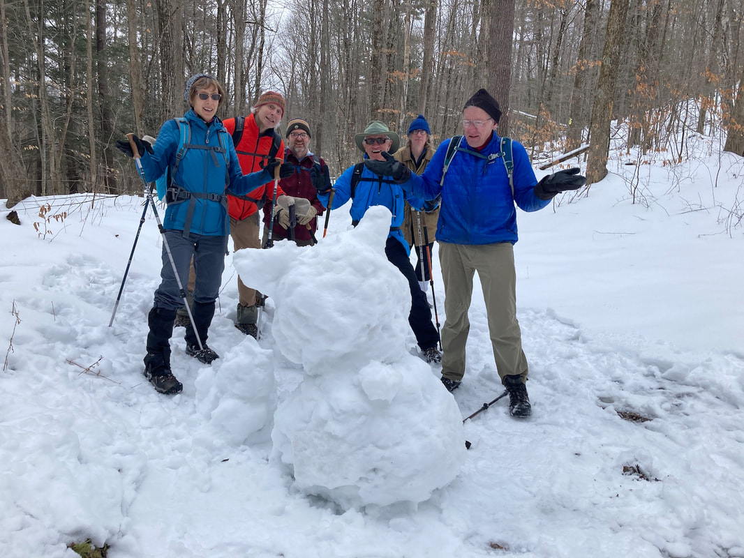 Looking back at Winter and ahead to Spring/Summer |


 RSS Feed