The Stepping Stone |
|
Newsletter of the Bennington Section Section of the Green Mountain Club Club Officers
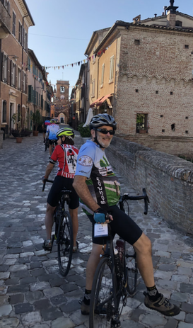
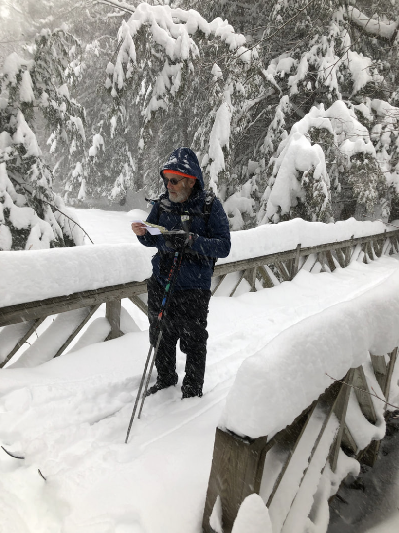
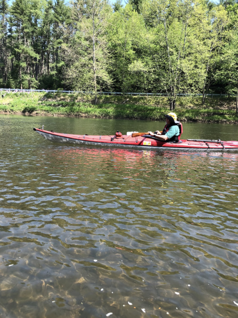
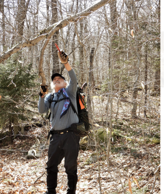
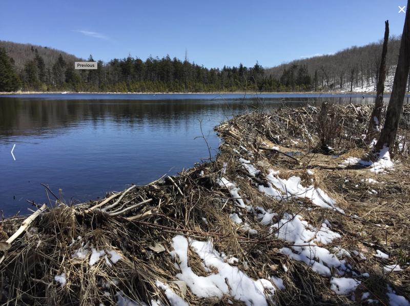
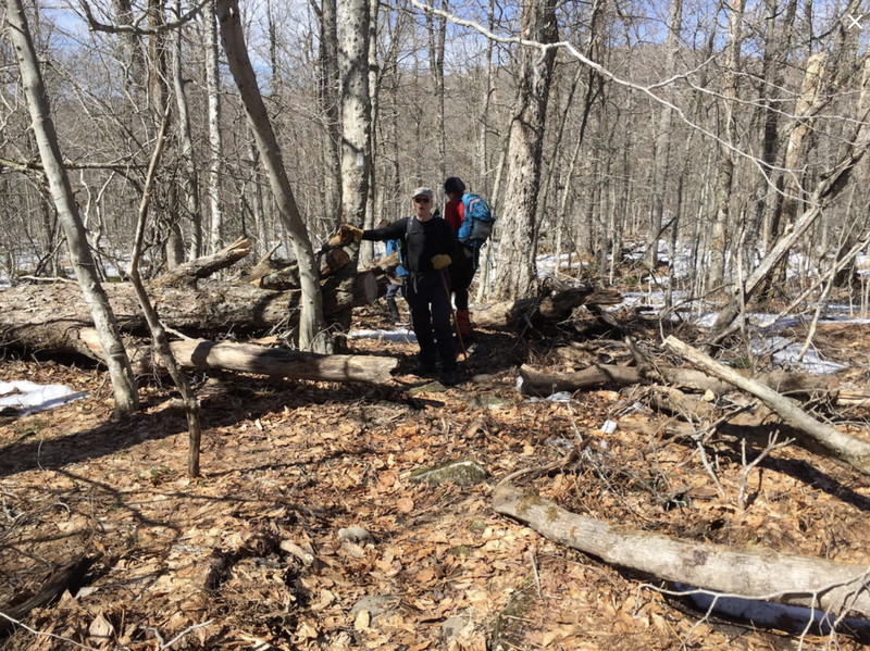
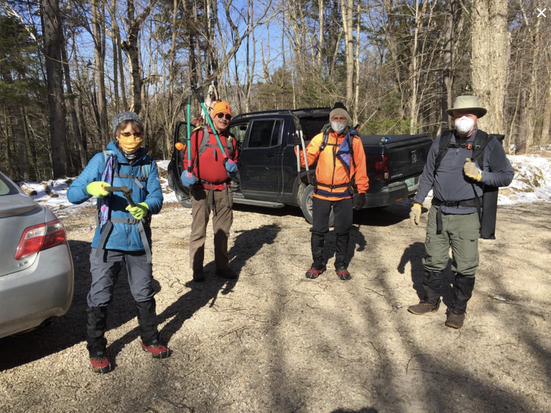
Newsletter: Hal March and Lorna Cheriton Meet the New Bennington GMC President Reed Goossen Reed is a long time resident of Bennington. He moved here with his family in 1979 to begin a science teaching job at Mount Anthony Union High School. He had recently finished a 2 year tour of duty as a education volunteer with the Peace Corps in what was then called Zaire, now the Democratic Republic of Congo. Prior to that he taught middle school science in White River Junction, Vermont for three years. He spent the school year 2000-2001 teaching at a high school in Oslo, Norway as a Fulbright Exchange Teacher. Upon retiring from MAUHS in 2005, he taught AP Biology and International Baccalaureate Biology at George School in Newtown, PA until retiring from all paid work in June 2011. Reed has been a member of the Bennington Section of the GMC since about 1991 and served as president of the section from 1996 to 2000. He's been an active participant and leader of numerous trips. He also is a long time member of, and occasional leader for, the Albany Chapter of the Adirondack Mountain Club (ADK). He is also a member of the Delaware Valley Chapter of the Appalachian Mountain Club, where he is a certified trip leader for hiking, cycling, and paddling. As this suggests, he loves to be outdoors hiking, biking, cross country skiing, and paddling. He has hiked most of the hikes in the area near Bennington many times. His adventures farther afield include 4 days backpacking on the Inca Trail in Peru to Macchu Pichu, 8 days ski touring hut-to-hut in Norway, and most recently a week of cycling in Italy last fall. He is glad that his time in Italy was then, and not now. His other interests include gardening, beekeeping and woodworking. The woodworking has proven to be a good way to spend “stay at home” time during the pandemic. Gardening is starting to gear up at his partner Kathy's house in Pennsylvania where he's been since the lockdown found him in March. Beekeeping is also happening again after a hiatus of a few years, as two swarms of bees just decided to move into his two empty hives there. Reed's three adult children now live with their own families, in Westwood, MA , Jericho, VT, and Morrill, ME. He has 5 and 8/9 grandchildren, with the sixth one (a girl) due to arrive on the scene in early June. Photos below by Kathy Kindness...and the dog is Rosie. Trail Work Spring 2020 At this writing the Appalachian Trail - Long Trail remains closed to hikers. It has been opened for trail work and maintenance in order to ready the trail for upcoming hikers when the ban is lifted. The Bennington Section is responsible for the trail from Harmon Hill, south of VT Route 9 in Woodford, north to the top of Glastenbury Mountain. We also take care of the Nauheim shelter (Maple Hill, near Route 9) and the Goddard Shelter (Glastenbury Mountain). Every year the trails must be cleared of blown down trees and branches, the dreaded hobblebush must be trimmed, water bars are cleared so water runs off the trail, blazes are refreshed, and any other problems taken care of. Different crews of volunteers have tackled various sections and side trails while maintaining all the safety guidelines from the Green Mountain Club. Below are some of the outings that have occurred - there may be some work that has been accidentally omitted, but we thank all volunteers for their work to keep our trails in good condition.
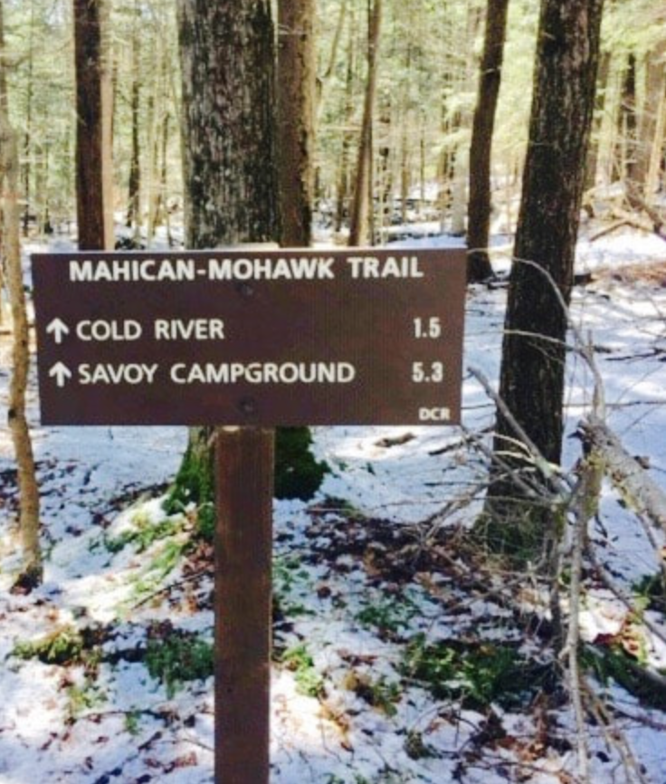
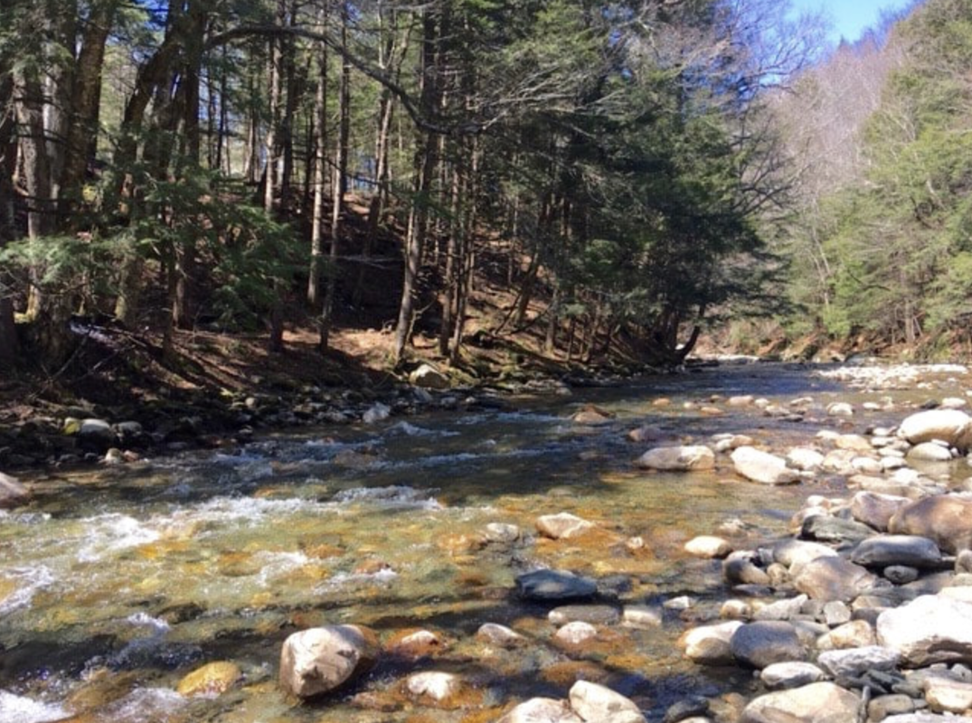
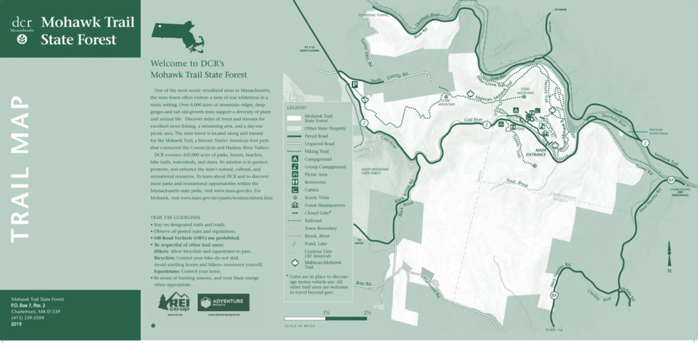
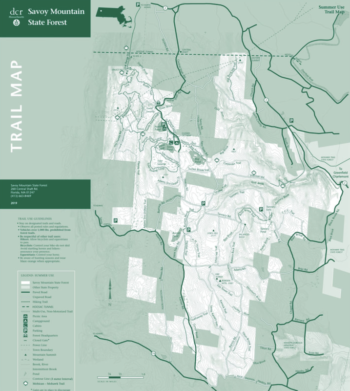
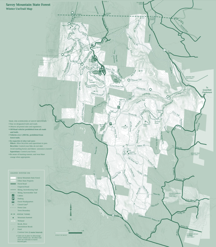
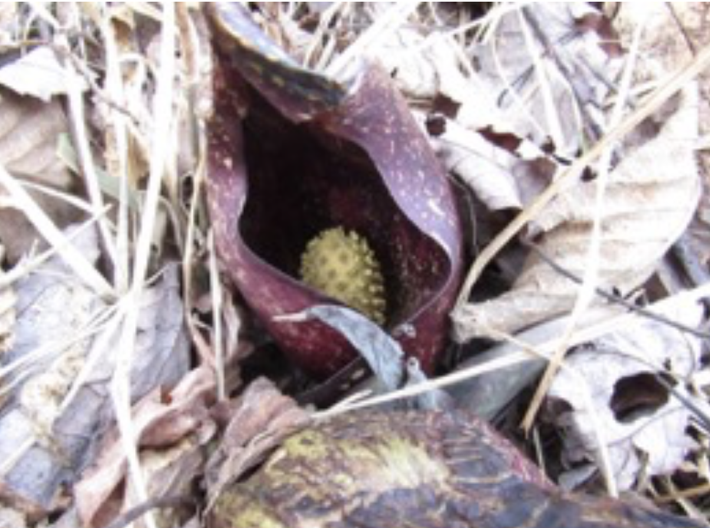
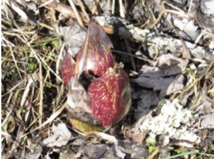
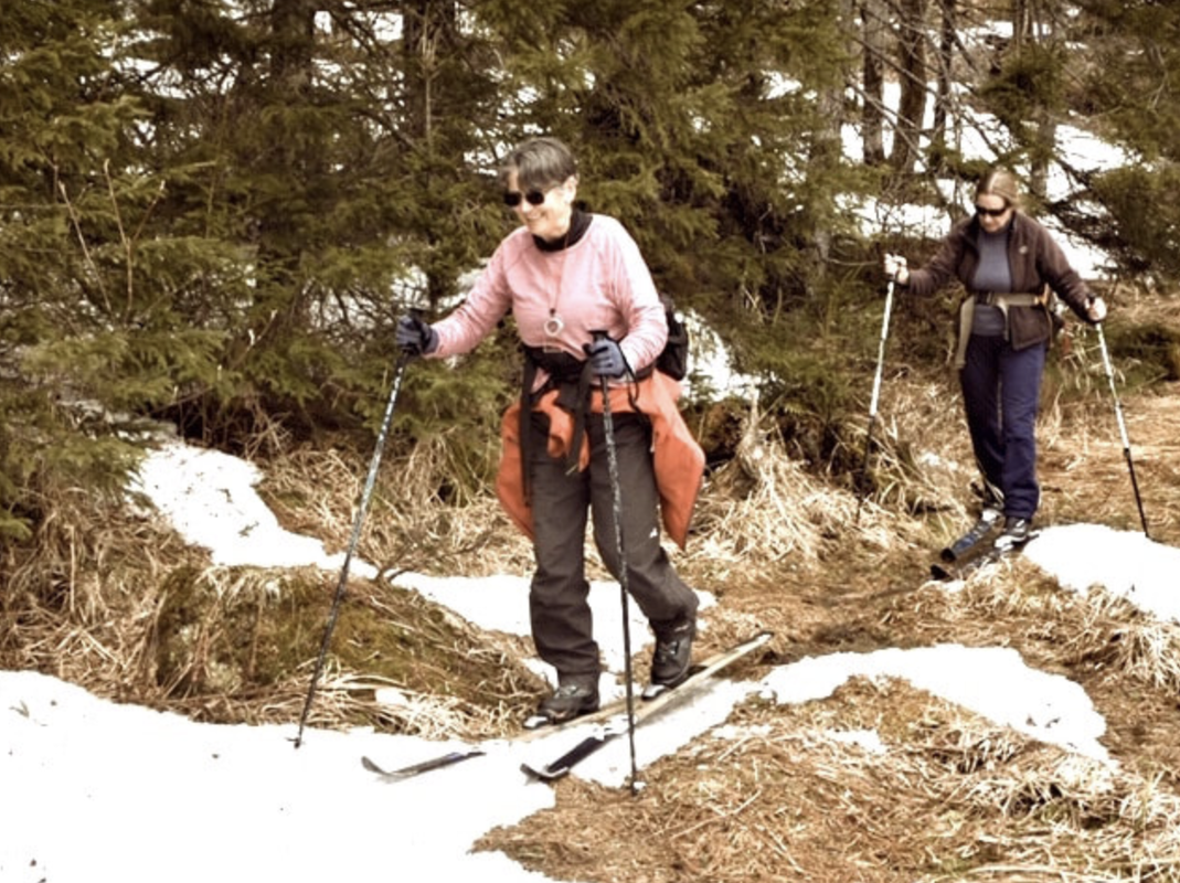
Mahican-Mohawk Trail This isn’t really a new trail; in fact, it’s one of the oldest trails in this area. Native Americans used a trail that basically followed the Deerfield River east from the Connecticut River, up over the Hoosac Range to the Hoosic River and on to the Hudson. This trail (more or less) eventually became Route 2, which was called “The Mohawk Trail.” (A) Lauren Stevens, Williams College students and others have worked to reestablish the old trail, as close as possible to the original route. Unfortunately, with more private land and new roads and bridges, only about 30 miles have been laid out for hiking, mostly on the Hoosac Range, which will be covered here. For a long time the only recognized part of the old Mahican - Mohawk trail (blazed white) was the steep climb from Mohawk Trail State Forest to the top of the ridge. (Here a spur, blazed blue, goes east 3/4 of a mile to the summit of Todd Mtn.) This is not only the most scenic and historically accurate part of the trail, but about the only one that offers several good hiking loops, including one to Trees of Peace Grove, home of a White Pine that’s the tallest tree in the state. (A Massachusetts DCR map of thIs area is available at Mohawk State Forest headquarters, just off Rt. 2 at the bottom of the eastern side of the Hoosac Range or at this link: https://www.mass.gov/doc/mohawk-trail-state-forest-trail-map/download) SOCIAL DISTANCING NOTE: MASS STATE PARKS ARE OPEN, BUT THE M - M TRAIL FROM MOHAWK TRAIL STATE FOREST UP TO TODD MTN. IS NARROW AND POPULAR Going west on the ridge from Todd Mtn., the M-M trail follows or roughly parallells the original trail. It swings down into the forest, then up along some ledges and onto an old wood road that ends at Route 2 in Drury. (For those who plan to hike east on this section, there is small parking lot on South Country Rd. just off Rt. 2 at Brown’s Garage.) Here is where it gets interesting. To begin with, the trail up to Todd Mountain and west along the ridge was probably used by scouts looking for activity in the Deerfield River Valley. But the main Native American trail followed the path of least resistance, which was up the Cold River. (A, B) Today, Rt. 2 construction, bridges and flooding have erased all sign of this Cold River Trail. The well defined trail from Todd Mountain is now blocked west of Route 2 by private land. So a new section was laid out to go from the Rt. 2 crossing 1.5 miles east and south to the Cold River. (This can be seen on the Mass. DCR Savoy Mountain State Forest Map which can be accessed at this link: https://www.mass.gov/doc/savoy-mountain-state-forest-trail-map/download ) It’s blazed white, but not very well marked or much traveled. I won’t say that only a Mahican could follow it, but it’s a bit of a challenge. Still, it’s a nice hike and you can’t really get lost, with Rt. 2 behind you, fields on the west and the Cold River to the east. NO SOCIAL DISTANCING WORRIES ON THE M - M SECTION SOUTH FROM RT. 2 So, to continue from the end of the Todd Mountain section, cross Rt. 2 .and start uphill along the guard rail, looking left. You should see a small yellow M - M disc on a tree marking the trailhead, and the brown wooden sign at the far end of the second bridge isn’t impossible to see. Here the trail, now on Savoy Mountain State Forest land, heads southeast, parallel to Rt. 2. It crosses several small bridges, winds uphill and onto an old road. After a short distance, the trail leaves the road and goes up and along below the edge of a field Then it enters a hemlock forest and angles southeast downhill, where it joins another old road that goes down the side of the hill to the junction of Tannery Brook and the Cold River. This is a peaceful wooded little spot with a campsite, bench and stone fireplace. The road and trail run down the bank to an old ford across the Cold River, which the MASS DCR website says is “easily forded” in low water, but possibly “un-crossable” in high water. A large yellow rope had been tied across here, but it’s now broken. On the other side the Cold River, a small Mahican-Mohawk disc on a tree shows where the trail climbs the bank on some log stairs to a flat terrace and up on an old road that becomes Sherman Road. After half a mile on Sherman, the M-M turns right onto the Carpenter Trail. From here the M-M follows Savoy State Forest trails: Carpenter to New State Road, north to Bog Pond Trail and Haskings Trail to the State Forest Campground. From there it continues on the North Pond Loop, Blackburnian Loop, Lost Pond and Busby Trails to the top of Spruce Hill, then turns north on BNRC’s Hoosac Range Trail to a trailhead and parking lot on Rt. 2 at the Western Summit. A short walk west on Route 2 will bring you to the historic and now renovated Wigwam Gift Shop where (when it’s open) you can admire the view and get a cold Sasparilla, a snack or whatever. At the north end of the Wigwam parking lot a small sign marks the Mahican - Mohawk trail dropping off down the mountainside to North Adams. This trail, which mostly follows the old road down (shorter and steeper than Route 2) is probably best hiked in the opposite direction, up from the parking lot on Rt. 2 just north of Central Shaft Road, with the trailhead at the north end of the lot. Mahican-Mohawk Trail from the Mass DCR website: https://www.mass.gov/location-details/mahican-mohawk-trail - Hal March Sources: A. The Mohawk Trail; It’s History and Course. Booklet, William B. Browne (1920) plus Addendum,Paul W. Marino (1998), reprinted 1998 by The Hoosic Bank. B. The Mohawk Trail, showing old roads and other points of interest, David L. Costello. Self-published 16 X 19” spiral-bound book, 1952. Nature Notes - Skunk Cabbage Skunk Cabbage, (Symplocarpus foetidus), a member of the Jack-in-the Pulpit family, emerges in early spring often before snow melts. It is a plant of wetlands and moist slopes, that due to strange internal chemistry uses oxygen to create heat, a process called thermogenesis. The flower sprouts first enclosed by a mottled purple hood called the spathe. Temperature within the spathe can reach 70 F. Inside the hood the flower, (spadix), resides, pale yellow and tubular. The leaves don’t sprout until late spring and die back in summer. The spadix turns black and releases marble sized seeds. Pollen produced by the flower and the warm temperature within the hood are enjoyed by insects including bees, carrion beetles and flies. Although the plant is toxic, causing burning and swelling in the lips and mouth, bears eat the young leaves and the roots, ducks, and grouse enjoy the seeds. The common name, Skunk Cabbage is apt, as the flower gives off a rotting meat and skunky aroma. Native Americans dried the the plant, reducing the toxicity and used it to treat everything from headaches to epilepsy. Book review: Earl V. Shaffer "Walking With Spring" (1981 It seems as if when you can't be out hiking the trail you could just waterproof your boots or you could read about hiking the trail. There are quite a few good books about hiking the Appalachian Trail, but the one to start with is Earl V. Shaffer's "Walking With Spring." First of all, he was the first to hike the AT continuously from end to end, which he did in 1948 after serving 41/2 years in the Army in World War II. Certainly any 2000 plus mile hike is quite an accomplishment, but in 1948 it was exceptionally difficult. Just following the trail in those days was quite a challenge, and it was made even harder when the maps that Earl ordered from the Appalachian Trail Conference didn't arrive in time, leaving him to depend on gas station maps. In addition, his equipment seemed to be a little shaky, especially by modern standards. In his "bulky" Mountain Troop rucksack he carried a Marine Corps poncho, a "paper mill" blanket (whatever that is) and an Air Corps survival tent (which he ditched after a week.) When he developed blisters early on, he decided the "…best thing was to put sand in my boots and wear no socks until my feet toughened." (!) But maybe most importantly, reading "Walking With Spring" gives the reader a unique opportunity to go back in time and experience -even if vicariously - the early Appalachian Trail as it was in 1948, and a very different America along the way . Neither the trail nor the country would ever be the same again. Finally - and thankfully - Earl Shaffer's writing is more than equal to the promise of his great adventure. He tells you, in quite a bit of detail, with a few photographs, just about everything you might want to know about this first AT thru-hike in a style that's as natural and inspiring as a walk in the woods. Hal March Is this the Last Ski??
0 Comments
Leave a Reply. |

 RSS Feed